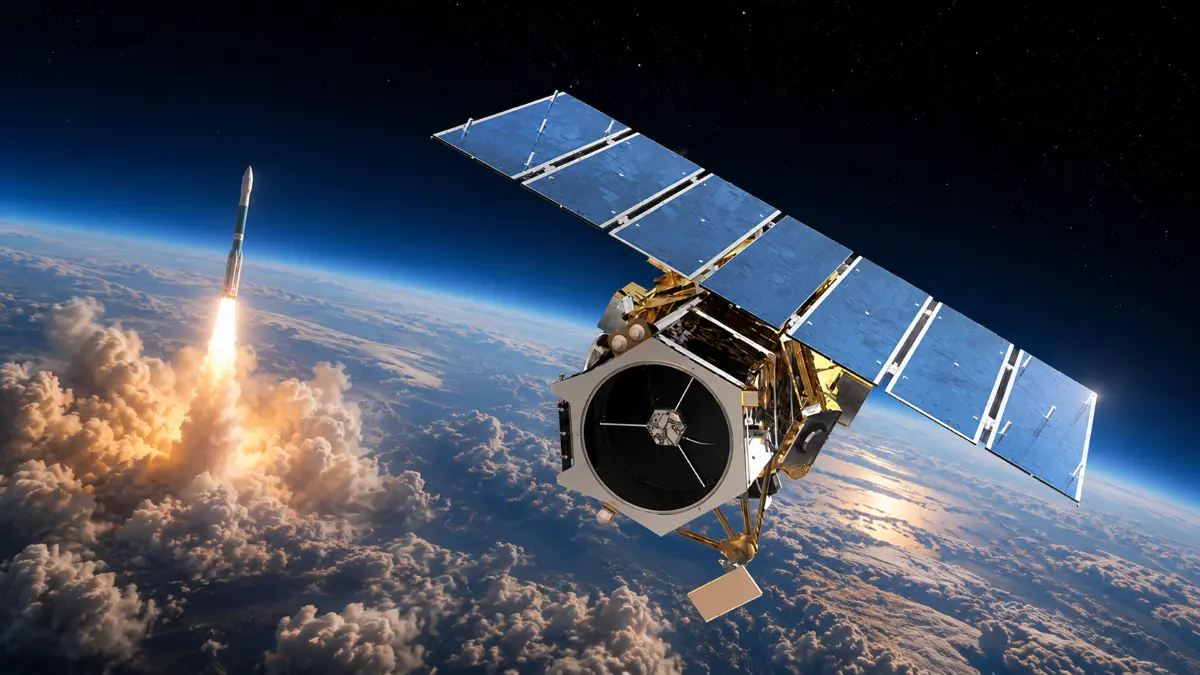

The sky was never quite the same after September 6, 2008. That day, GeoEye-1 finally broke through the delays to reach orbit, bringing with it a new era of high-resolution Earth observation. The GeoEye-1 launch was not just about putting another satellite in space; it was about pushing the boundaries of what commercial satellite imaging could achieve.
GeoEye-1, owned by GeoEye, Inc., was designed to capture images of the Earth with remarkable detail, down to 16 inches per pixel. This level of resolution was unprecedented for a commercial satellite at the time. However, the U.S. government imposed restrictions, reserving the highest resolution images for its own use, limiting commercial access to 20-inch detail. Despite this, the satellite’s capabilities were a game changer for industries relying on satellite imagery, from environmental monitoring to urban planning.
The launch itself was notable for its connection to Google, which held exclusive rights to use GeoEye-1’s images for online mapping. Google’s logo adorned the Delta II rocket that carried the satellite into orbit, signaling the growing importance of satellite data in consumer technology. This partnership hinted at a future where satellite imagery would become a staple in everyday digital tools, far beyond niche scientific or military applications.
At the time, GeoEye-1 addressed a critical problem: the need for more detailed, timely, and accessible Earth imagery. Prior to this, commercial satellite images were either too low in resolution or too infrequent to support many practical applications. GeoEye-1’s high-resolution images allowed for more precise analysis of geographic changes, better disaster response, and improved infrastructure management. The satellite’s data fed into mapping platforms that millions would come to rely on, setting a new standard for digital cartography.
The impact of the GeoEye-1 launch rippled through the tech and geospatial industries. It accelerated the development of commercial satellite imaging and pushed competitors to enhance their own capabilities. The satellite’s imagery helped fuel innovations in AI-driven image analysis, enabling automated detection of changes in land use, deforestation, and urban expansion. This data became an invaluable resource for governments, businesses, and researchers alike.
Today, the legacy of GeoEye-1 endures in how satellite imagery integrates seamlessly into our digital lives. The high-resolution images it provided set a benchmark that continues to influence satellite design and data policies. The balance between government control and commercial access established then still shapes debates around satellite data privacy, national security, and open access.
GeoEye-1’s launch was more than a technical feat; it was a turning point in the relationship between space technology and everyday information. It showed how satellite imaging could evolve from a specialized tool into a foundational element of digital infrastructure. This event reminds us that the satellites orbiting above are not just collecting data, they are shaping how we understand and interact with our planet.
As we look back on the GeoEye-1 launch, it’s clear that its true significance lies in the doors it opened. It wasn’t just about pixels on a screen; it was about unlocking new possibilities for insight, decision-making, and connectivity. The satellite’s journey from launch to legacy continues to influence how we see the world, literally and figuratively.