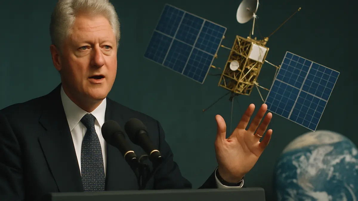
In a world increasingly defined by location, navigation, and real-time data, the moment GPS access opened up to the public feels like a quiet seismic shift. On May 2, 2000, President Bill Clinton announced that accurate GPS access would no longer be restricted to the United States military. This decision was more than a policy change, it was the key that unlocked the potential of location-based technology across the globe.
Before this announcement, GPS signals were deliberately degraded for civilian use, limiting accuracy and reliability. This was a safeguard designed during the Cold War era to prevent adversaries from exploiting the system. But as the digital age accelerated, the demand for precise positioning data grew beyond military applications. The event on May 2, 2000, removed this barrier, allowing civilians to access the same high-precision GPS signals as the military.
At the time, this move addressed a critical bottleneck in the evolution of digital navigation and location services. By enabling accurate GPS access, it laid the groundwork for innovations that would soon permeate everyday life, from car navigation systems and emergency response to agriculture and logistics. The technology suddenly became a platform for developers and industries to build upon, transforming how people and goods move through space.
The impact of this release rippled through multiple sectors. Transportation became safer and more efficient as GPS-guided systems improved route planning and traffic management. The rise of smartphones combined with unrestricted GPS access led to the explosion of location-based apps that define modern urban living. Industries like farming adopted precision agriculture techniques, leveraging GPS for better resource management and yield optimization. Even outdoor recreation and fitness tracking found new meaning with reliable location data.
Today, the decision to grant accurate GPS access still matters because it set the stage for the interconnected, data-driven world we navigate daily. It made location a fundamental layer of digital infrastructure, enabling everything from ride-hailing services to autonomous vehicles and smart city technologies. The precision and availability of GPS data continue to empower innovations in mapping, tracking, and spatial analytics.
Looking back, the announcement on May 2, 2000, was a catalyst that expanded the possibilities of digital technology by democratizing access to a critical resource. It reminds us that sometimes the most profound tech shifts come not from flashy gadgets but from opening up access to foundational tools. GPS access is one such tool, quietly powering the systems that shape how we live, work, and explore the world.